ファイル:Virginia 56.svg

この SVG ファイルのこの PNG プレビューのサイズ: 600 × 600 ピクセル. その他の解像度: 240 × 240 ピクセル | 480 × 480 ピクセル | 768 × 768 ピクセル | 1,024 × 1,024 ピクセル | 2,048 × 2,048 ピクセル。
元のファイル (SVG ファイル、600 × 600 ピクセル、ファイルサイズ: 4キロバイト)
ウィキメディア・コモンズのファイルページにある説明を、以下に表示します。
|
概要
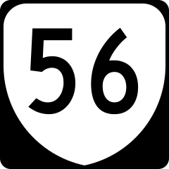
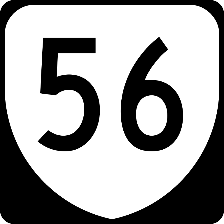
| 解説 | This is the shield used on Virginia's State Route 56. |
| 日付 | 2006年8月25日 (当初のアップロード日) |
| 原典 | コンピュータが読み取れる情報は提供されていませんが、投稿者自身による著作物だと推定されます(著作権の主張に基づく) |
| 作者 | コンピュータが読み取れる情報は提供されていませんが、NE2だと推定されます(著作権の主張に基づく) |
ライセンス
This file is in the public domain because it comes from the Virginia Supplement to the Manual on Uniform Traffic Control Devices, sign number M1-V1a. The Virginia Supplement states on page I-2 "The MUTCD contains its own introduction which shall remain in force in addition to this Introduction for this Supplement. Technical sections contained within the remainder of this Supplement shall replace the corresponding section in the MUTCD in its entirety. If a section from the MUTCD is not contained within this Supplement, the section in the MUTCD shall remain in force." The federal MUTCD states specifically on page I-1 that:
|
ファイルの履歴
過去の版のファイルを表示するには、その版の日時をクリックしてください。
| 日付と時刻 | サムネイル | 寸法 | 利用者 | コメント | |
|---|---|---|---|---|---|
| 現在の版 | 2016年5月28日 (土) 19:40 | | 600 × 600 (4キロバイト) | HWY Shield Bot | == {{int:filedesc}} == {{Information |Description= 30-by-24-inch (750 mm × 600 mm) Virginia primary state route sign, made to the specifications of the [http://www.virginiadot.org/business/resources/TED/final_MUTCD/Standard_Highway_Sign... |
| 2006年8月25日 (金) 17:39 |  | 384 × 384 (4キロバイト) | NE2 | == Summary == This is the shield used on Virginia's State Route 56. == Licensing == {{PD-self}} 056 |
ファイルの使用状況
以下の 3 ページがこのファイルを使用しています:
グローバルなファイル使用状況
以下に挙げる他のウィキがこの画像を使っています:
- en.wiki.x.io での使用状況
- Rockbridge County, Virginia
- Nelson County, Virginia
- Buckingham County, Virginia
- Augusta County, Virginia
- Blue Ridge Parkway
- List of primary state highways in Virginia
- List of highways numbered 56
- U.S. Route 11 in Virginia
- U.S. Route 29 in Virginia
- Virginia State Route 48
- Virginia State Route 55
- Virginia State Route 56
- Virginia State Route 57
- U.S. Route 60 in Virginia
- Virginia State Route 151
- List of crossings of the James River
- List of Virginia Byways
- List of former primary state highways in Virginia (Lynchburg District)
- User:AggieAb99/Blue Ridge Parkway
- fr.wiki.x.io での使用状況
- vi.wiki.x.io での使用状況
- www.wikidata.org での使用状況
- zh-min-nan.wiki.x.io での使用状況