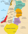
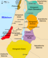
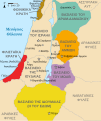
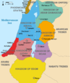
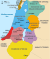
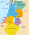
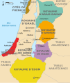
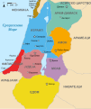
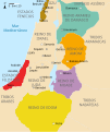
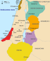
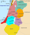
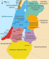
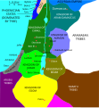
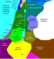
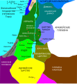
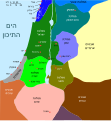
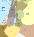
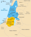
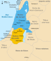
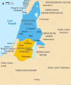
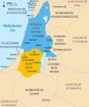
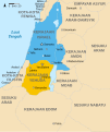
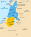
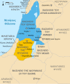
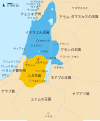
ファイル:Kingdoms of Israel and Judah map 830.svg
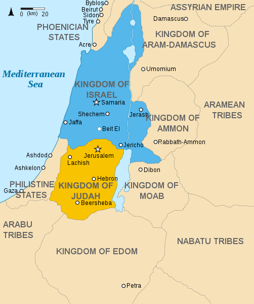
この SVG ファイルのこの PNG プレビューのサイズ: 502 × 599 ピクセル. その他の解像度: 201 × 240 ピクセル | 402 × 480 ピクセル | 644 × 768 ピクセル | 858 × 1,024 ピクセル | 1,717 × 2,048 ピクセル | 720 × 859 ピクセル。
元のファイル (SVG ファイル、720 × 859 ピクセル、ファイルサイズ: 96キロバイト)
ファイルの履歴
過去の版のファイルを表示するには、その版の日時をクリックしてください。
| 日付と時刻 | サムネイル | 寸法 | 利用者 | コメント | |
|---|---|---|---|---|---|
| 現在の版 | 2021年10月1日 (金) 14:12 |  | 720 × 859 (96キロバイト) | Sadopaul | File uploaded using svgtranslate tool (https://svgtranslate.toolforge.org/). Added translation for ko. |
| 2017年2月10日 (金) 15:50 |  | 720 × 859 (80キロバイト) | Malus Catulus | removed 'Sizu' - a weird artifact from the Norse original | |
| 2011年2月12日 (土) 23:48 |  | 720 × 859 (78キロバイト) | Malus Catulus | - | |
| 2010年7月13日 (火) 11:29 |  | 720 × 859 (79キロバイト) | Malus Catulus | Fixed Judah color | |
| 2010年7月13日 (火) 10:51 |  | 720 × 859 (79キロバイト) | Malus Catulus | Added colors for the two kingdoms and converted their text to path and arial | |
| 2010年7月12日 (月) 23:53 |  | 720 × 859 (62キロバイト) | Malus Catulus | Shrinked down the borders | |
| 2010年7月12日 (月) 19:43 |  | 720 × 859 (62キロバイト) | Malus Catulus | {{Information |Description={{en|1=Map showing the ancient levant borders and ancient cities such as Urmomium and Jerash. The map also shows the region in the 9th century BCE. Notice the coastal land of Philistia, from which the name "Palestine |
ファイルの使用状況
以下の 4 ページがこのファイルを使用しています:
グローバルなファイル使用状況
以下に挙げる他のウィキがこの画像を使っています:
- af.wiki.x.io での使用状況
- als.wiki.x.io での使用状況
- arz.wiki.x.io での使用状況
- azb.wiki.x.io での使用状況
- az.wiki.x.io での使用状況
- be-tarask.wiki.x.io での使用状況
- be.wiki.x.io での使用状況
- bg.wiki.x.io での使用状況
- bn.wiki.x.io での使用状況
- br.wiki.x.io での使用状況
- bs.wiki.x.io での使用状況
- bxr.wiki.x.io での使用状況
- ca.wiki.x.io での使用状況
- cdo.wiki.x.io での使用状況
- cs.wiki.x.io での使用状況
- da.wiki.x.io での使用状況
- de.wiki.x.io での使用状況
- de.wikibooks.org での使用状況
- en.wiki.x.io での使用状況
このファイルのグローバル使用状況を表示する。
